Solve your problems
Frequently Asked Questions
Frequently Asked Questions
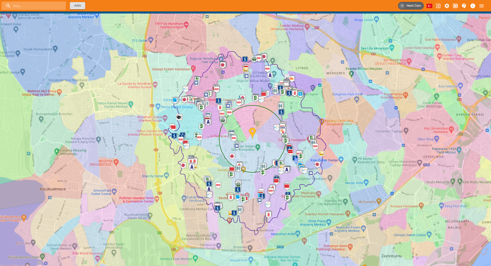
Spatial analysis is finding location-oriented insights by overlapping layers of geographic and business data onto maps. This give an oppurtunity to visualize, analyze and solve complex problems.
We compile and enrich different types of large datasets, such as GPS data, commercial data that specific and customized to your business, socio-demographic data, street-based retail values and point of sales data; and then, we use them in geographic analysis. We display all study and knowledge as an interface that customized to your company.
Location Analysis is an interactive technology that lets you create maps and visualizations; so, you can filter data and see only what’s significant for you. It makes easier to detect your business needs and trends. Also, it makes your strategic decisions more effective and data oriented.
Business Intelligence, Artificial Intelligence and Geographical Information Systems are strong components of spatial analytics. This approach enables businesses to process location data into valuable insights, maximize store network efficiency, generate sales forecasts, and select locations with the right location characteristics to support a sustainable enlargement strategy.
Geo-segmentation is a marketing strategy that helps to target local communities or shoppers. In this context, people who live in places with shared and similar characteristics share common culture, requirements, desires, and expectations. Companies could figure out requirements of consumers with geo-segmentations; and so, they could target successful marketing strategies and products for similar segments to improve their business performance.
Socio-Economic Status (SES) is the combined economic and social measure of a household’s economic and social position relative to others based on income, education, and occupation. SES is more commonly used to describe an economic difference and classes in society comprehensively. It divides society into six groups as A, B, C1, C2, D, and E with this approach.
Regional optimization is the allocation of resources between regions in order to provide maximum service to customers with available resources and to achieve maximum sales. This optimization may be based on geography, industry, and/or customer size.
Geomarketing is a next generation marketing method that improves the performance of marketing strategy while targeting consumer groups. Spatial intelligence is an component of geomarketing.
How will it contribute to your company?
You can get in touch with us to learn details. If you wonder, please don’t hesitate to contact us.